Select Your Country/Region:
Current Region:
![]() Global (EN)
Global (EN)
Current Region:
![]() Global (EN)
Global (EN)
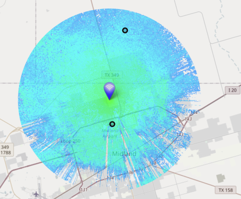
Welcome to our LoRaWAN Topographical Tool, the perfect solution for anyone looking to assess end node coverage before deploying IoT devices.
LoRaWAN is a wireless technology that enables long-range, low-power communication between IoT devices and a central network. One of the key advantages of LoRaWAN is its ability to cover large geographic areas with minimal infrastructure. However, the quality of coverage can vary depending on a number of factors, including terrain, obstacles, and interference from other wireless devices.
That's where our LoRaWAN Topographical Tool comes in. Our tool provides a comprehensive view of the terrain and radio coverage in any given area, allowing you to assess the quality of coverage before deploying your IoT devices.
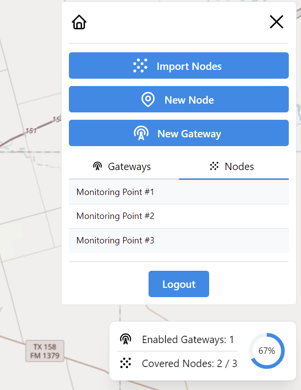
With our tool, you can:
Our LoRaWAN Topographical Tool is easy to use and can be accessed from any device with an internet connection. Simply enter your location, adjust the parameters as needed, and you'll get a detailed view of the terrain and expected coverage in the area.
So if you're planning to deploy Aircom devices in a new area, don't leave it to chance. Use our LoRaWAN Topographical Tool to ensure that you're making the most of your investment and getting the best possible coverage and performance from your devices. Contact us today to learn more!
Learn more about our End node, Gateway , Server and Value added solutions.


 Afghanistan(EN)